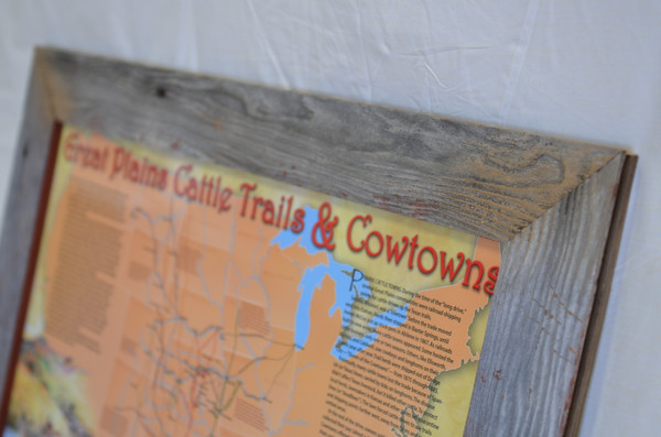
Take a journey back in time with our Great Plains Cattle Trails & Cowtowns Poster, a must-have for history enthusiasts, educators, and Old West fans. This beautifully illustrated map by Dave Webb and Phillip R. Buntin showcases the legendary Texas longhorn cattle drives that traversed the Great Plains, from Indian Territory (Oklahoma) through Kansas and Nebraska.
The map covers the major cattle trails active during the "long drive" era from 1865 to 1885.
Key Features:
- Comprehensive Cattle Trails Map: Follow the path of the Texas longhorns across the Great Plains, highlighting significant cattle trails and routes used during the peak of the cattle drive era.
- Old West Cowtowns: Discover the infamous cattle towns where cowboys, cattle, and the colorful characters of the Old West converged.
- Informative Articles & Factoids: Dive deeper into the history with accompanying articles on cattle trails and towns, plus smaller factoids that add layers of detail.
- Original Artwork: Admire the vibrant and historically accurate artwork that brings this educational map to life.
- Durable Laminated Finish: Laminated on both sides, this poster is perfect for display in classrooms, homes, or offices.
Whether you're a history buff, a teacher looking for educational tools, or simply captivated by the lore of the Old West, the Great Plains Cattle Trails & Cowtowns Poster is a unique piece that brings history to your walls.
Order yours today and relive the days of the "long drive" on the Great Plains!
Specifications
- Full-color map
- 18 x 24 inches
- Laminated
- Wood frame not included


